Public Boat Landings
Spend a day on the South Fork.
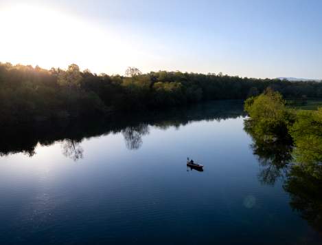
The South Fork of the Shenandoah River in Page Valley begins at the confluence of the North River and South River near Port Republic, flowing north for 97 miles to meet the North Fork of the Shenandoah in Front Royal. Because of its northeasterly flow, locals often refer to the South Fork as being “up” the Valley.
Fed by surface runoff tumbling down the western slope of Blue Ridge Mountains, parts of the Allegheny and Massanutten mountains, and ground water from the karst regions of the Shenandoah Valley and Page Valley, the South Fork watershed spans 1,650 square miles.
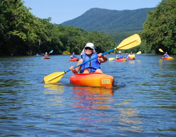
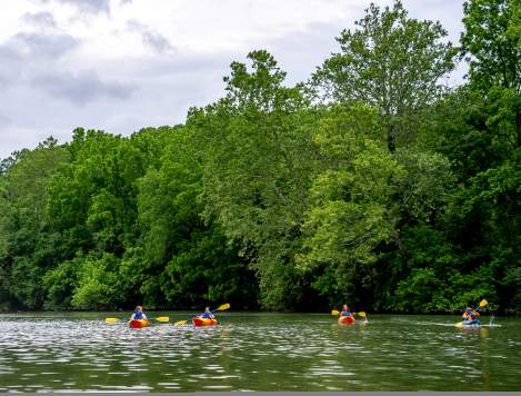
The South Fork remains a popular destination for canoeists and kayakers, as well as for boat and float trips, due in part to its close proximity to the Washington metropolitan area, as well its aesthetic beauty year round.
Several canoe outfitters operate along the South Fork, and canoe and tube traffic can be heavy on certain sections of the river during summer months. The South Fork is typically low gradient, but does produce some Class I and Class II rapid. Three low-head hydropower dams are located on the South Fork — at Shenandoah, Newport, and Luray. Twenty public access points — including eight in Page Valley — facilitate opportunities for river adventures of varying distances.
Please note: Except for the public access points and small sections of the George Washington National Forest land on the west bank of the river, the majority of the land bordering the South Fork is privately owned. Public access points in Page Valley include:
Alma
Directions: Rt. 650 South of Alma (0.5)
Barrier Free: No
Type: Shoreline Access
Ramps: 0
Coordinates: 38.5887, -78.5657
Map
Fosters
Directions: From Luray, Rt. 675 North (2.7); R on Rt. R-684 (6)
Barrier Free: No
Type: Concrete Ramp
Ramps: 1
Coordinates: 38.7703, -78.4224
Map
Grove Hill
Directions: From Shenandoah, Rt. 340 North (2); R on Rt. 650 (1.1)
Barrier Free: No
Type: Shoreline Access
Ramps: 0
Coordinates: 38.5273, -78.5947
Map
Inskeep
Directions: From Luray, Rt. 684 North (2.5) at the Rt. 675 Bridge
Barrier Free: No
Type: RS
Ramps: 0
Coordinates: 38.7015, -78.4917
Map
Massanutten
Directions: From Luray, Rt. 211 West (3.8); R on Rt. 615 (2.8)
Barrier Free: No
Type: RS
Ramps: 0
Coordinates: 38.6724, -78.5291
Map
Newport
Directions: Northeast on Rt. 340 (7) of Shenandoah
Barrier Free: No
Type: Shoreline Access
Ramps: 0
Coordinates: 38.5830, -78.5943
Map
Shenandoah Riverside
Directions: Town of Shenandoah, Morrison Street
Barrier Free: Yes
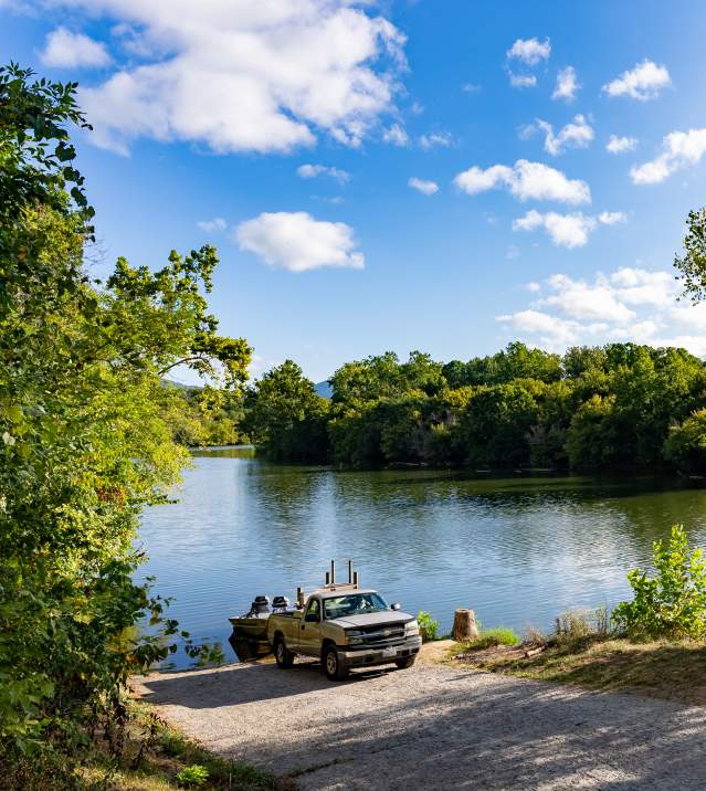
Type: Concrete Ramp
Ramps: 1
Coordinates: 38.4803, -78.6236
Map
White House
Directions: From Luray, Rt. 211 East (2.8); R on Rt. 646 (0.1)
Barrier Free: No
Type: Concrete Ramp
Ramps: 1
Coordinates: 38.6460, -78.5344
Map
Valley Float Trips
Your River Adventure Awaits!
Whether it’s by tube, kayak, or canoe, we’ve got float trip recommendations for you on the South Fork of the Shenandoah River in Page Valley. See the signs of the season and sweeping mountain views from the middle of the river. Soak up the sunshine, paddle through warm waters, and breathe in the fresh-air surroundings. Keep reading to learn more about Page Valley float trips on the South Fork.
Read MorePage Valley River Outfitters
Middle-of-the-river mountain views
Kayaking, Canoeing, & Tubing
The South Fork of the Shenandoah River in Page Valley offers river-goers and water lovers…
Boating
Whether it’s the South Fork of the winding Shenandoah River or the easy waters of…
Fishing
Throughout Page Valley and its three towns, anglers can find bank and boat fishing at popular spots…
